GIS layers
Download the data as raster or vector data
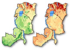
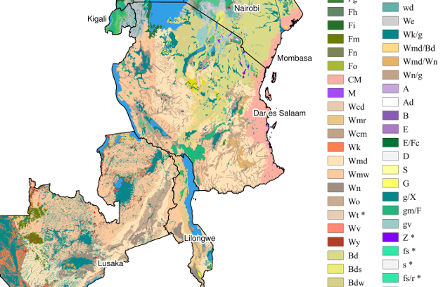
If you want to use the potential natural vegetation map of eastern Africa for your analysis, you can download the spatial data layers below. You have the choice between the original data layers, and the simplified version. The former contains some country-specific vegetation type. This was done to maintain the maximum level of information available. This map might be most suitable when carrying out analysis at the national or sub-national level. The latter aggregates country specific vegetation types into regional types. This might be the better option when doing regional-level assessments.
An example of how the potential natural vegetation map can be used is demonstrated in the article “Environmental gap analysis to prioritize conservation efforts in eastern Africa”, published in PLOS. Click on the ‘Gap analysis data’ tile to see how to download the data created for this study.