GIS layers
The vegetation map is available download from Zenodo, as separate raster or vector data layers for the following countries: Ethiopia, Kenya, Tanzania, Uganda, Rwanda, Burundi, Malawi and Zambia.
The data is published under the Creative Commons Attribution 4.0 International. license. Please consult the license before using it.
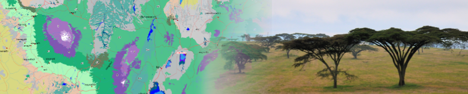
Please be aware that the map shows the Potential natural vegetation (PNV). The PNV is defined as “vegetation that would persist under the current conditions without human interventions”. As such, it can be considered a baseline or null model to assess the vegetation that could be present in a landscape under the current climate and edaphic conditions, including conditions created or altered by man. This does not need to be the same as the current vegetation cover! For more information, see the documentation.